
distributed aerial photography
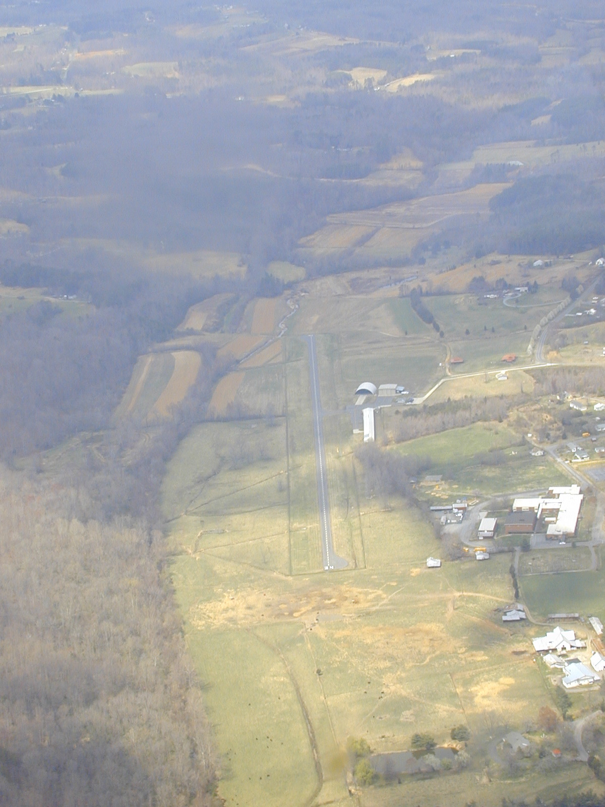
Earlier in the year, I snapped this pic of Meadow Brook, a local short field, on the way back from a landing at the even smaller Air Harbor. I submitted the image to AirNav and forgot about it. Looks like they've recently included it. I've been using AirNav for a while now, it's quick, convenient, and the mapping and aerial photos give it an edge over the AFD for preliminary flight planning. As an online service, I think there are more opportunities to be explored here in the way of collaborative content creation, a la Wikipedia.
September 13, 2004 @ 7:02 PM | Category: Aviation